1
/
of
9
Sugartown Art and Antiques | Antique and Contemporary Fine Art Gallery
1775 Gentleman's Magazine Colored Antique Map of the Boston Harbor in Gold Frame
1775 Gentleman's Magazine Colored Antique Map of the Boston Harbor in Gold Frame
Regular price
$0 USD
Regular price
Sale price
$0 USD
Unit price
/
per
Shipping calculated at checkout.
Couldn't load pickup availability
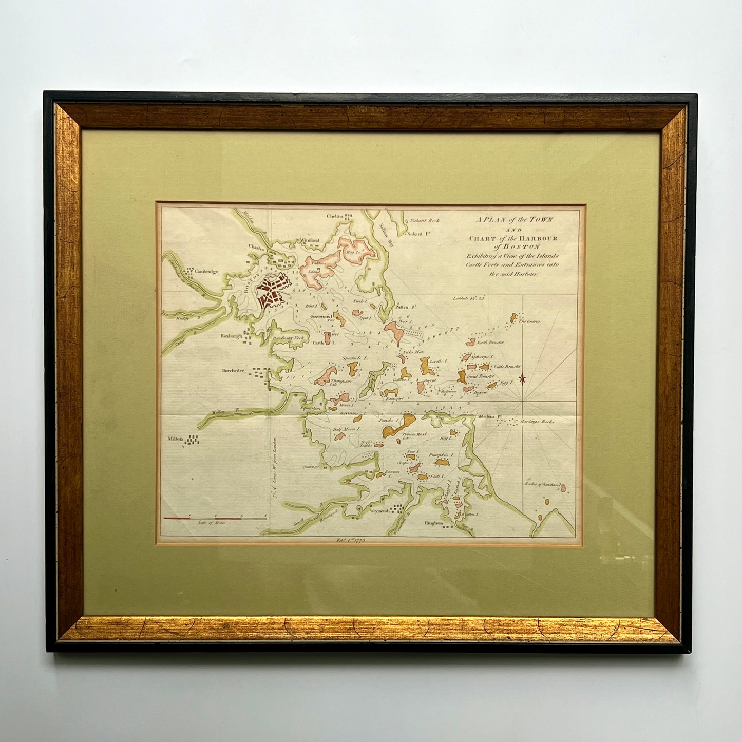
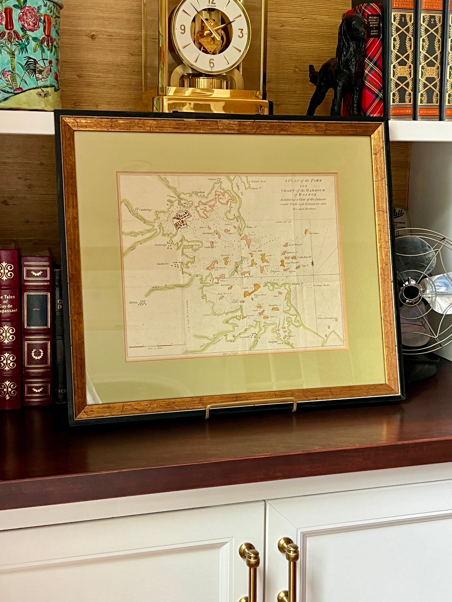
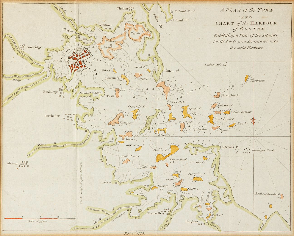
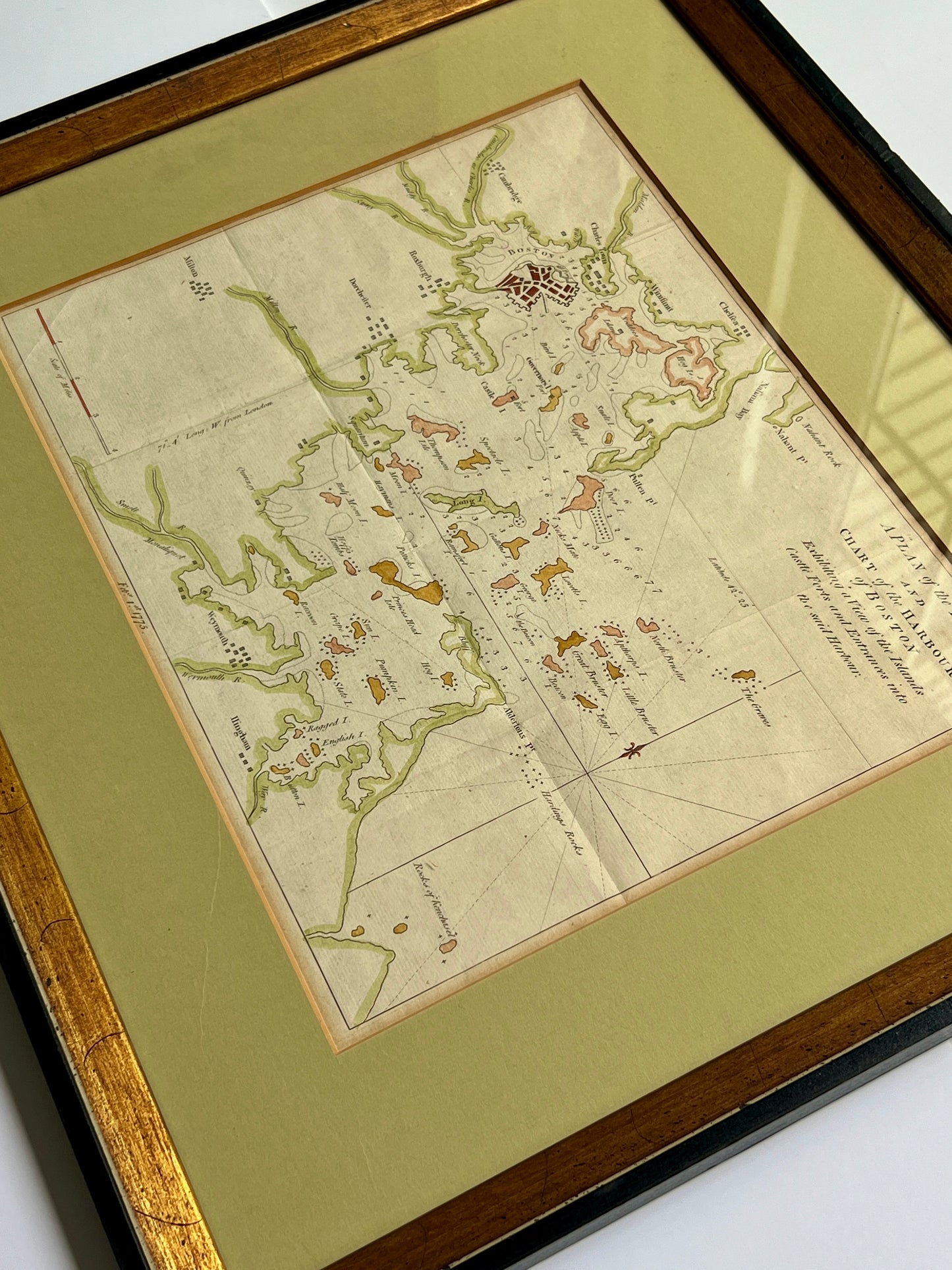
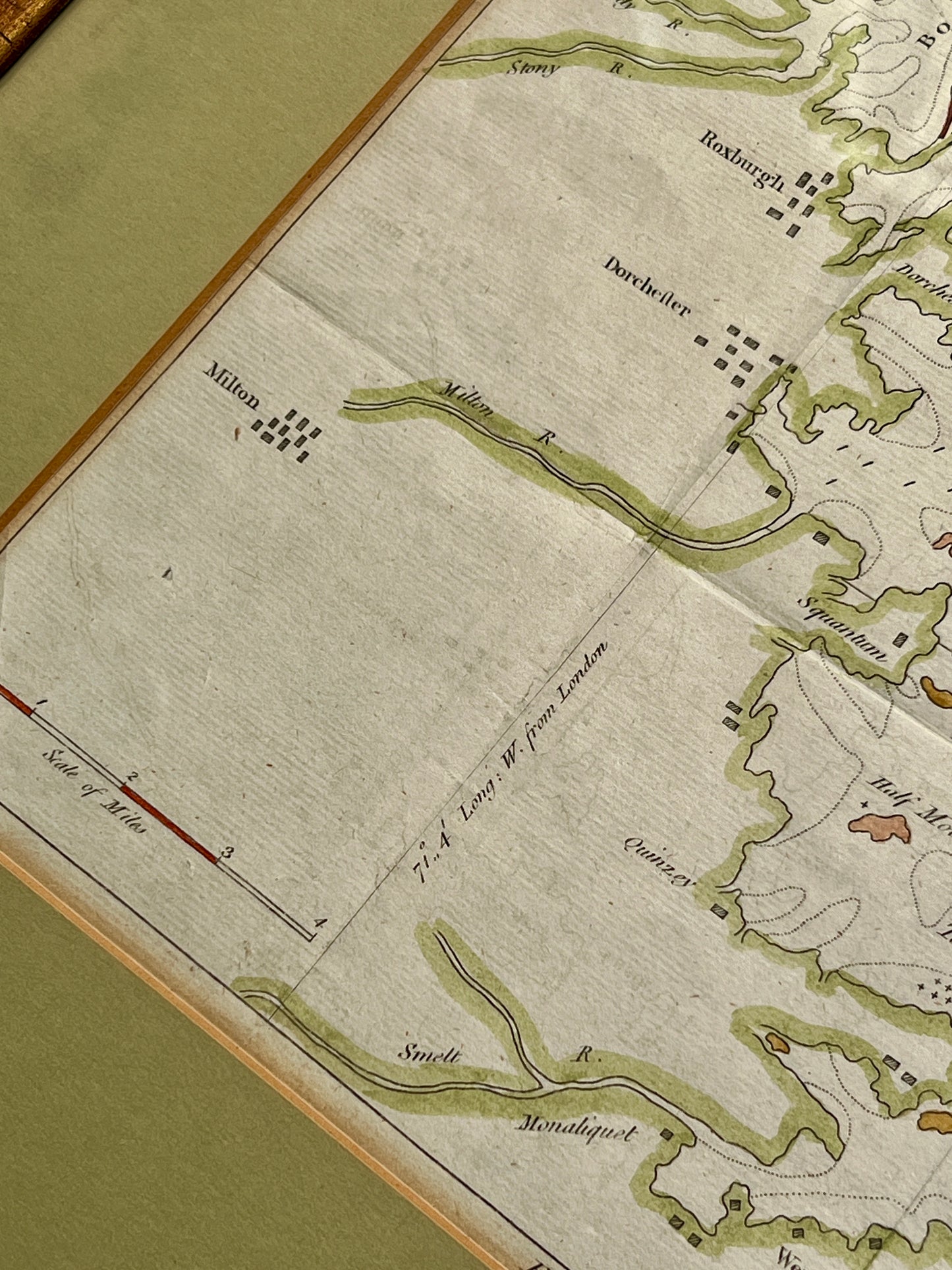
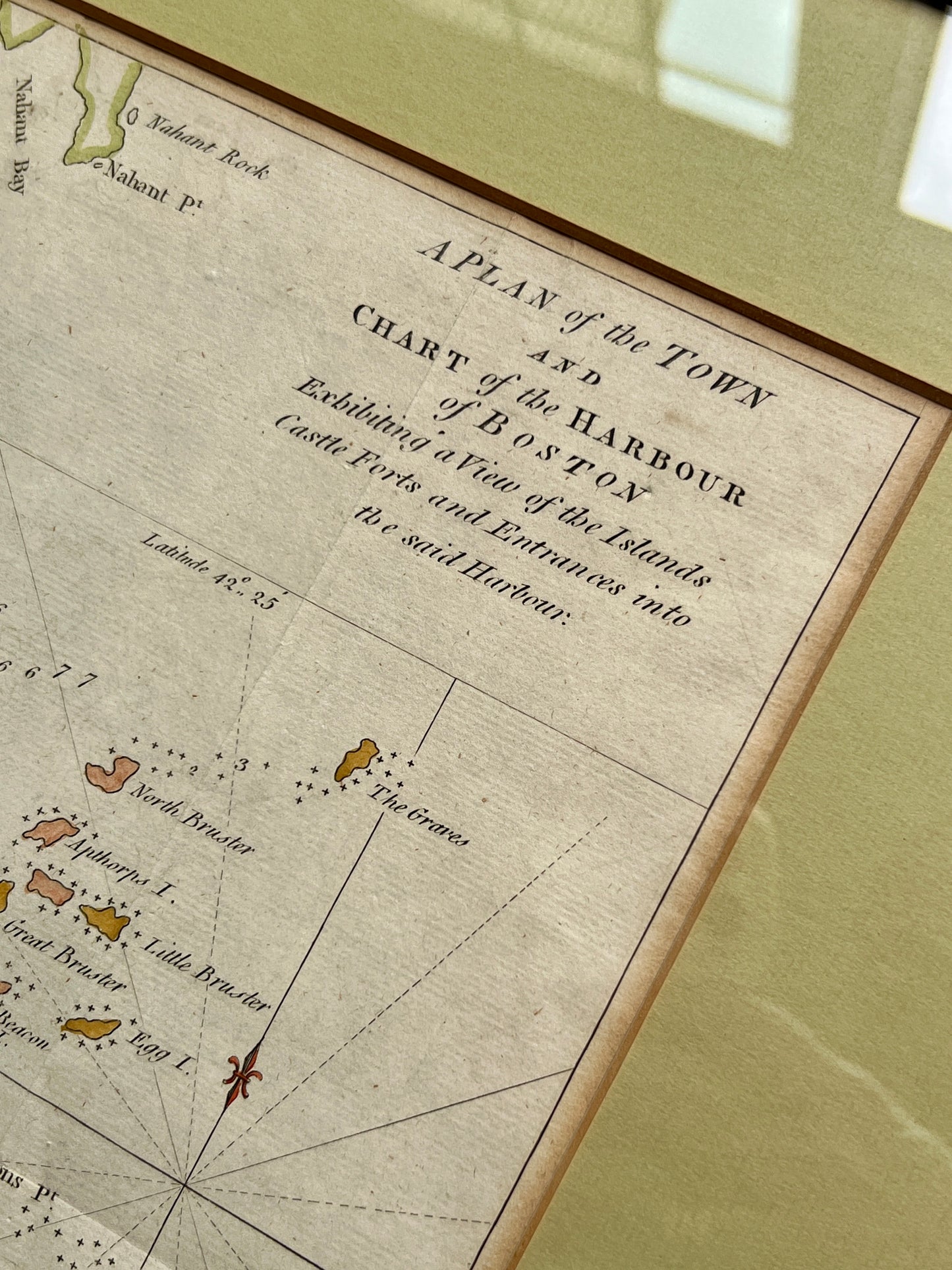
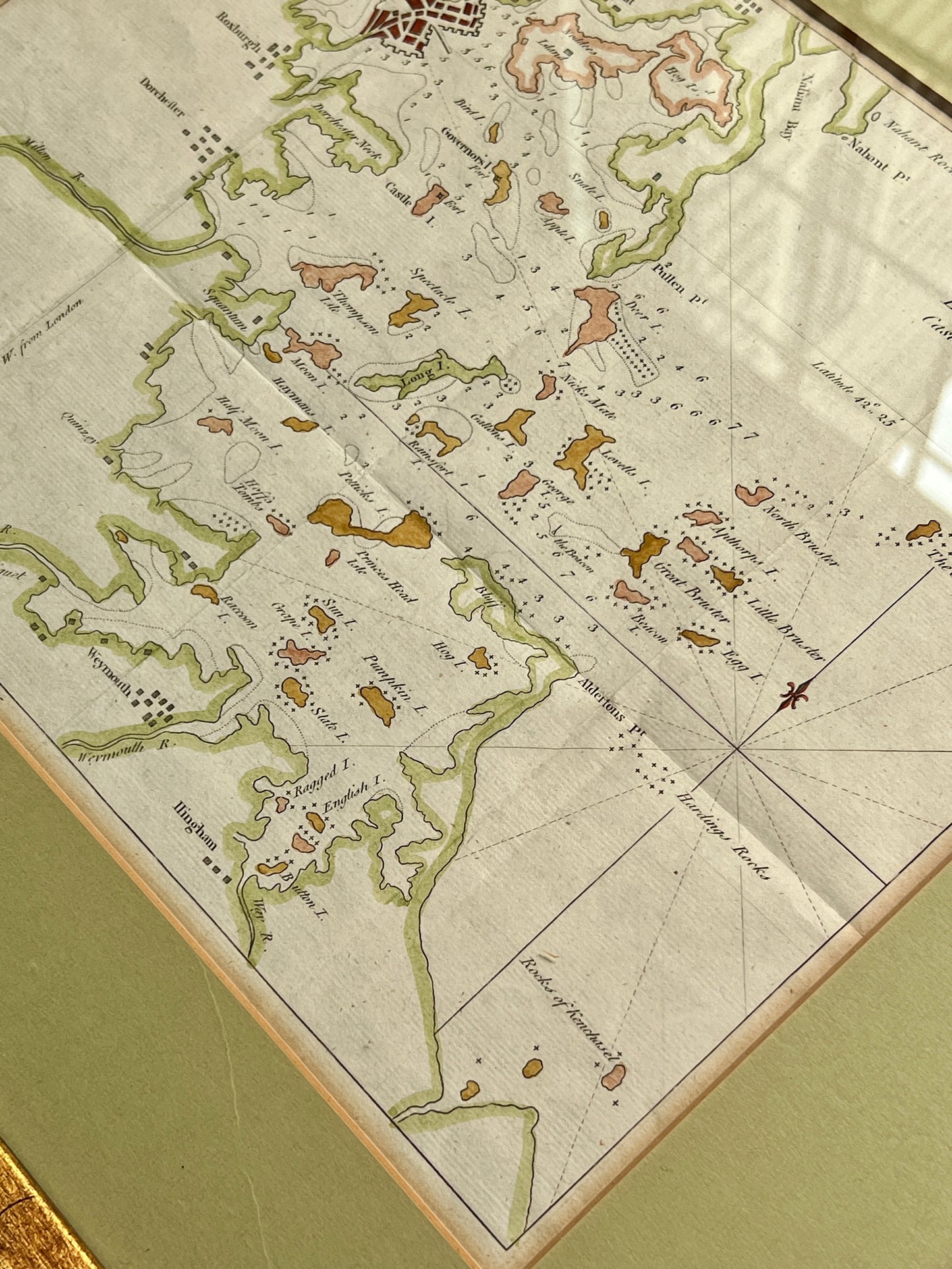
A hand colored and engraved antique map titled A Plan of the Town and Chart of the Harbour of Boston / Exhibiting a view of the islands, castle forts, and entrances into the said harbour." Originally included in the 1775 Gentleman's Magazine, this chart documents the Port of Boston at the dawn of the American Revolution. It features Cambridge, Charlestown, Nahant, Weymouth, Hingham and more. There are many prints sold of this map, but this is an original, hand colored engraving. The map in frame measures 17.5" x 20.25". Map and custom gold and black wood in very good condition.
Share
